Sandwell Council interactive cycle map
Use this map to explore on- and off- road cycle routes, including segregated, traffic-calmed and canal towpaths. The map also provides the location of cycle parking facilities, cycle shops and other points of interest. Use the Key to identify route classifications used within the map.
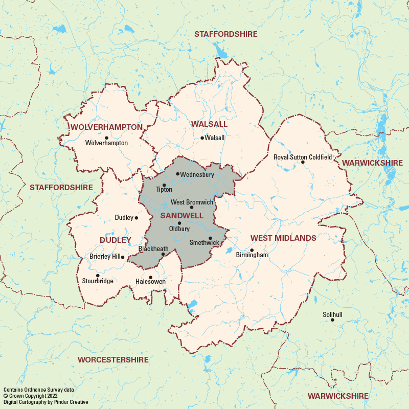
How to use the map
Click on the grey ‘Sandwell’ area to zoom to the next level of mapping. You can then pan around and zoom in to see more detailed mapping. Click on the grey boxes to zoom to more detailed town centre maps. Some map symbols are interactive allowing you to click on them for more details.
You can also use the ‘Search’ function to search the map by place, road name and points of interest (POI).